Keep downtopc Online Please

Categories
PREMIUM ACCOUNTS
Support downtopc by buying or renewing your premium account using below links:


Most Commented

![eM Client Pro 9.2.1735 Multilingual [Updated]](https://pikky.net/medium/wXgc.png)
Partners


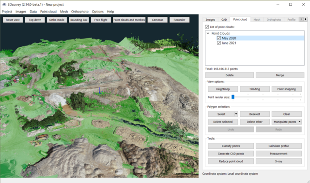
3Dsurvey 2.15.1 (x64) Multilingual


Description material
File size: 105 MB
3Dsurvey is a software solution for land surveying data processing. Take a photo with any standard digital camera, import images into 3Dsurvey and produce your own orthophoto maps, digital surface models and calculate volumes faster and more easily. Data is processed automatically based on matching algorithms. Use our smart tools to be even more efficient.
Works with any drone and any camera
3Dsurvey software is designed to work with any digital camera, DSLR or GoPro. Use any UAV to capture aerial terrain images or check our PACKAGE SOLUTIONS.
Land surveying tool accuracy
Get the most accurate end results in a fast and elegant manner. Our team of experienced land surveyors and devoted computer vision specialists understands first-hand the importance of your end result accuracy.
No *.log from flight path needed
No need for downloading the flight point file from your drone or paying expensive systems to geo tag your aerial images. Simply import images from your camera and start processing.
Developed based on real projects
Being fast and efficient at land surveying projects every day is the foundation of 3Dsurvey. Our software is developed based on experience from more than 300 end customer drone projects! Check our SHOWCASES.
Screen :
What's New
https://www.3dsurvey.si/news/
HOMEPAGE
https://www.3dsurvey.si/

Please register or log in to see this hidden content.Please register or log in to see this hidden content.
Join to our telegram Group
Information
Users of Guests are not allowed to comment this publication.
Users of Guests are not allowed to comment this publication.
Choose Site Language
Keep downtopc Online Please
PREMIUM ACCOUNTS
Support downtopc by buying or renewing your premium account using below links:
Recommended news


Commented
![Movavi Video Editor 24.0.2.0 Multilingual [ Updated]](https://pikky.net/medium/qhrc.png)


All files on the site are presented for informational purposes.
Copyright © 2025 - Downtopc | All rights reserved