Keep downtopc Online Please

Categories
PREMIUM ACCOUNTS
Support downtopc by buying or renewing your premium account using below links:


Most Commented

![eM Client Pro 9.2.1735 Multilingual [Updated]](https://pikky.net/medium/wXgc.png)
Partners


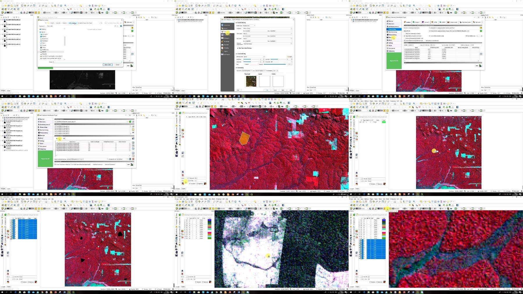
Udemy - MEGA Machine Learning in GIS & Remote Sensing 5 Courses in1


Description material

Download Free Download : Udemy - MEGA Machine Learning in GIS & Remote Sensing 5 Courses in1
mp4 | Video: h264,1280X720 | Audio: AAC, 44.1 KHz
Genre:eLearning | Language: English | Size:6.11 GB
Files Included :
1 - Introduction.mp4 (50.42 MB)
MP4
2 - Introduction to Geographic Information Systems GIS.mp4 (31.53 MB)
MP4
3 - Introduction to Remote Sensing.mp4 (32.67 MB)
MP4
4 - Applications of GIS and Remote Sensing.mp4 (44.99 MB)
MP4
40 - Regression Model theory.mp4 (23.31 MB)
MP4
41 - OSL modelling in GIS.mp4 (37.18 MB)
MP4
42 - OSL modelling in ArcGIS.mp4 (165.97 MB)
MP4
43 - Deep Learning in ArcGIS Pro.mp4 (32.85 MB)
MP4
44 - Introduction to neural networks.mp4 (11.07 MB)
MP4
45 - Deep learning in ArcGIS Pro an overview.mp4 (20.65 MB)
MP4
46 - Getting started with Deep learning in ArcGIS Pro.mp4 (20.15 MB)
MP4
48 - Training data creation for convolutional or deep neural network CNN.mp4 (31.34 MB)
MP4
49 - Lab Image preparation for deep learning in ArcGIS Pro.mp4 (174.76 MB)
MP4
50 - Lab Training data creation for neural network in ArcGIS PRO 25.mp4 (128.68 MB)
MP4
51 - Lab Install deep learning frameworks for ArcGIS.mp4 (32.49 MB)
MP4
52 - Deep Learning CNN model definition in ArcGIS PRO.mp4 (69.84 MB)
MP4
53 - Lab Deep Learning CNN model definition in ArcGIS PRO.mp4 (97.14 MB)
MP4
54 - Apply deep learning model for object detection or image classification.mp4 (25.18 MB)
MP4
55 - Lab Detect image object with CNN deep learning model in ArcGIS Pro.mp4 (212.39 MB)
MP4
56 - Summary.mp4 (9.34 MB)
MP4
57 - Project 1 Supervised Learning for classification of Landsat data in QGIS.mp4 (10.26 MB)
MP4
58 - Project 2 Deep Learning in ArcGIS Pro.mp4 (29.98 MB)
MP4
59 - BONUS.mp4 (18.8 MB)
MP4
5 - QGIS version information.mp4 (17.74 MB)
MP4
6 - Installation of QGIS.mp4 (86.73 MB)
MP4
7 - SemiAutomatic Classification Plugin for QGIS.mp4 (18.36 MB)
MP4
8 - Intsalling plugins for QGIS.mp4 (99.55 MB)
MP4
10 - On Machine Learning in GIS and Remote Sensing theoretical background.mp4 (51.11 MB)
MP4
11 - Supervised and Unsupervised Learning classification in GIS and Remote Sensing.mp4 (71.52 MB)
MP4
12 - Lab Image data acquisition in QGIS.mp4 (122.19 MB)
MP4
13 - Common algorithms of image classification.mp4 (112.97 MB)
MP4
14 - Land cover classification on the cloud using EO browser.mp4 (154.06 MB)
MP4
15 - Regression Analysis.mp4 (29.26 MB)
MP4
16 - Prediction in GIS and deep learning for Big Data Analysis.mp4 (39.09 MB)
MP4
9 - Introduction Machine Learning.mp4 (46.86 MB)
MP4
17 - Overview of Machine Learning for Image Classification in ArcGIS.mp4 (20.41 MB)
MP4
18 - ArcGIS Software.mp4 (21.85 MB)
MP4
19 - Unsupervised LULC image analysis in ArcGIS.mp4 (162.92 MB)
MP4
20 - Installing OTB plugin for QGIS.mp4 (10.94 MB)
MP4
21 - Unsupervised Kmeans image analysis in QGIS.mp4 (58.87 MB)
MP4
22 - Stages of LULC supervised classification.mp4 (72.82 MB)
MP4
23 - Lab Creating Training data in ArcMap 106.mp4 (111.35 MB)
MP4
24 - Lab Supervised image classification with Support Vector Machines in ArcGIS.mp4 (72.38 MB)
MP4
25 - Lab Supervided Learning based on Maximum Likelihood Algorithm.mp4 (68.87 MB)
MP4
26 - Creating Training data for LULC mapping in QGIS.mp4 (309.04 MB)
MP4
27 - Lab LULC with the use of Minimum Distance Classification Algorithm.mp4 (48.03 MB)
MP4
28 - Accuracy assessment of the map in QGIS.mp4 (51 MB)
MP4
29 - Lab Validation data creation.mp4 (201.41 MB)
MP4
30 - Lab Accuracy Assessment of LULC map in QGIS.mp4 (101.23 MB)
MP4
31 - Random Forest supervised classification of Sentinel2 image in QGIS.mp4 (248.84 MB)
MP4
32 - Comparison of Random Forest and Decision Trees Classifier resilts.mp4 (209.92 MB)
MP4
33 - Principles of image segmentation for GIS and Remote Sensing analysis.mp4 (30.59 MB)
MP4
34 - Lab Downloading image data for segmentation analysis.mp4 (89.18 MB)
MP4
35 - Lad Perform Image Segmentation in ArcGIS.mp4 (184.92 MB)
MP4
36 - Lab Segmentation of satellite image in QGIS.mp4 (141.11 MB)
MP4
37 - Objectbased image classification OBIA VS pixelbased image classification.mp4 (69.51 MB)
MP4
38 - Creating training data for objectbased image classification in ArcGIS.mp4 (103.41 MB)
MP4
39 - Objectbased image classification OBIA in ArcGIS.mp4 (118.4 MB)
MP4
https://rapidgator.net/file/5e57bc8afa73391f63df1a7a4d44b81f/.MEGA.Machine.Learning.in.GIS..Remote.Sensing.5.Courses.in1.part1.rar
https://rapidgator.net/file/c3a86b9de7330e3b306ab8714e3ec680/.MEGA.Machine.Learning.in.GIS..Remote.Sensing.5.Courses.in1.part2.rar
https://rapidgator.net/file/5185d34dd4644554cfd7367caaf72705/.MEGA.Machine.Learning.in.GIS..Remote.Sensing.5.Courses.in1.part3.rar
https://rapidgator.net/file/85b210360fefc47d3ecb2fed28914052/.MEGA.Machine.Learning.in.GIS..Remote.Sensing.5.Courses.in1.part4.rar

https://katfile.com/7uirhhbbwvyt/.MEGA.Machine.Learning.in.GIS..Remote.Sensing.5.Courses.in1.part1.rar
https://katfile.com/va1y8hmb63f8/.MEGA.Machine.Learning.in.GIS..Remote.Sensing.5.Courses.in1.part2.rar
https://katfile.com/tyt0194svkz8/.MEGA.Machine.Learning.in.GIS..Remote.Sensing.5.Courses.in1.part3.rar
https://katfile.com/cihkcy1no2ss/.MEGA.Machine.Learning.in.GIS..Remote.Sensing.5.Courses.in1.part4.rar
Free search engine download: Udemy - MEGA Machine Learning in GIS & Remote Sensing 5 Courses in1
Join to our telegram Group
Information
Users of Guests are not allowed to comment this publication.
Users of Guests are not allowed to comment this publication.
Choose Site Language
Keep downtopc Online Please
PREMIUM ACCOUNTS
Support downtopc by buying or renewing your premium account using below links:
Recommended news


Commented
![Movavi Video Editor 24.0.2.0 Multilingual [ Updated]](https://pikky.net/medium/qhrc.png)


All files on the site are presented for informational purposes.
Copyright © 2025 - Downtopc | All rights reserved