Most Commented
AllMapSoft Offline Map Maker 8.319


Description material

File Size: 18.9 MB
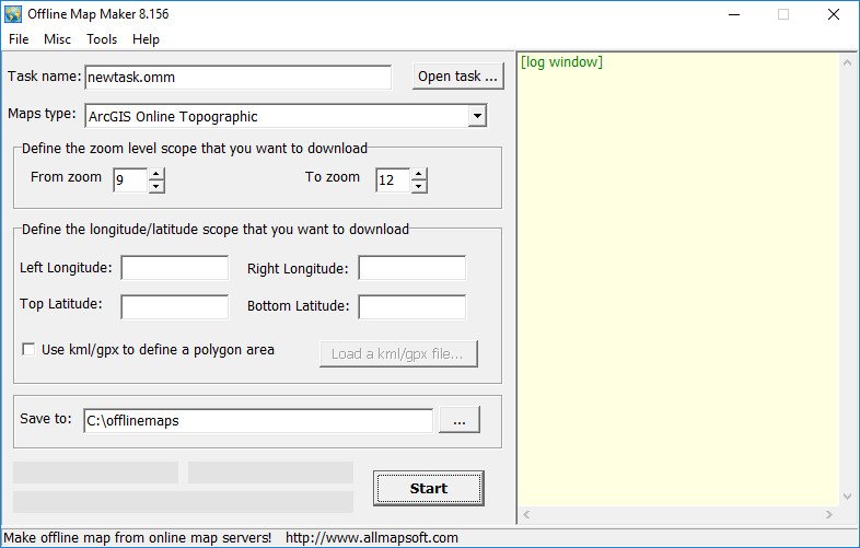
Offline Map Maker is a tool that help you to get offline tile images from many online maps providers, including 500+ maps types.
It supports multi-zoom level images download, supports kml and gpx as input parameters, can output html files for leaflet, openlayers and googleapi, can output bmp, jpg, tif, png, ecw, sgi, img, kmz as a big map, can output mbtiles for mobile apps to use.
Screen :

What's New
HOMEPAGE
https://www.allmapsoft.com
Buy Premium Account From My Download Links & Get Fastest Speed.
Warning! You are not allowed to view this text.
Warning! You are not allowed to view this text.
Warning! You are not allowed to view this text.
Join to our telegram Group
Information
Users of Guests are not allowed to comment this publication.
Users of Guests are not allowed to comment this publication.
Choose Site Language
Recommended news
Commented


![eM Client Pro 9.2.1735 Multilingual [Updated]](https://pikky.net/medium/wXgc.png)


![Movavi Video Editor 24.0.2.0 Multilingual [ Updated]](https://pikky.net/medium/qhrc.png)

