Most Commented
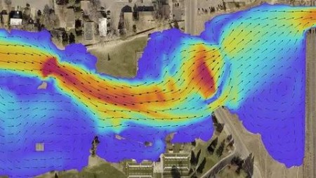
Revolutionize 2D Flood Simulation: Dive Into Hec-Ras 2D


Description material

Revolutionize 2D Flood Simulation: Dive Into Hec-Ras 2D
Published 10/2024
MP4 | Video: h264, 1920x1080 | Audio: AAC, 44.1 KHz
Language: English | Size: 6.64 GB | Duration: 4h 57m
Master 2D Flood Modelling with HEC-RAS: From Mesh Creation to Advanced Simulations and Real-World Applications
What you'll learn
How to download DEMs from different data sources such as ALOS, SRTM, NASA DEM
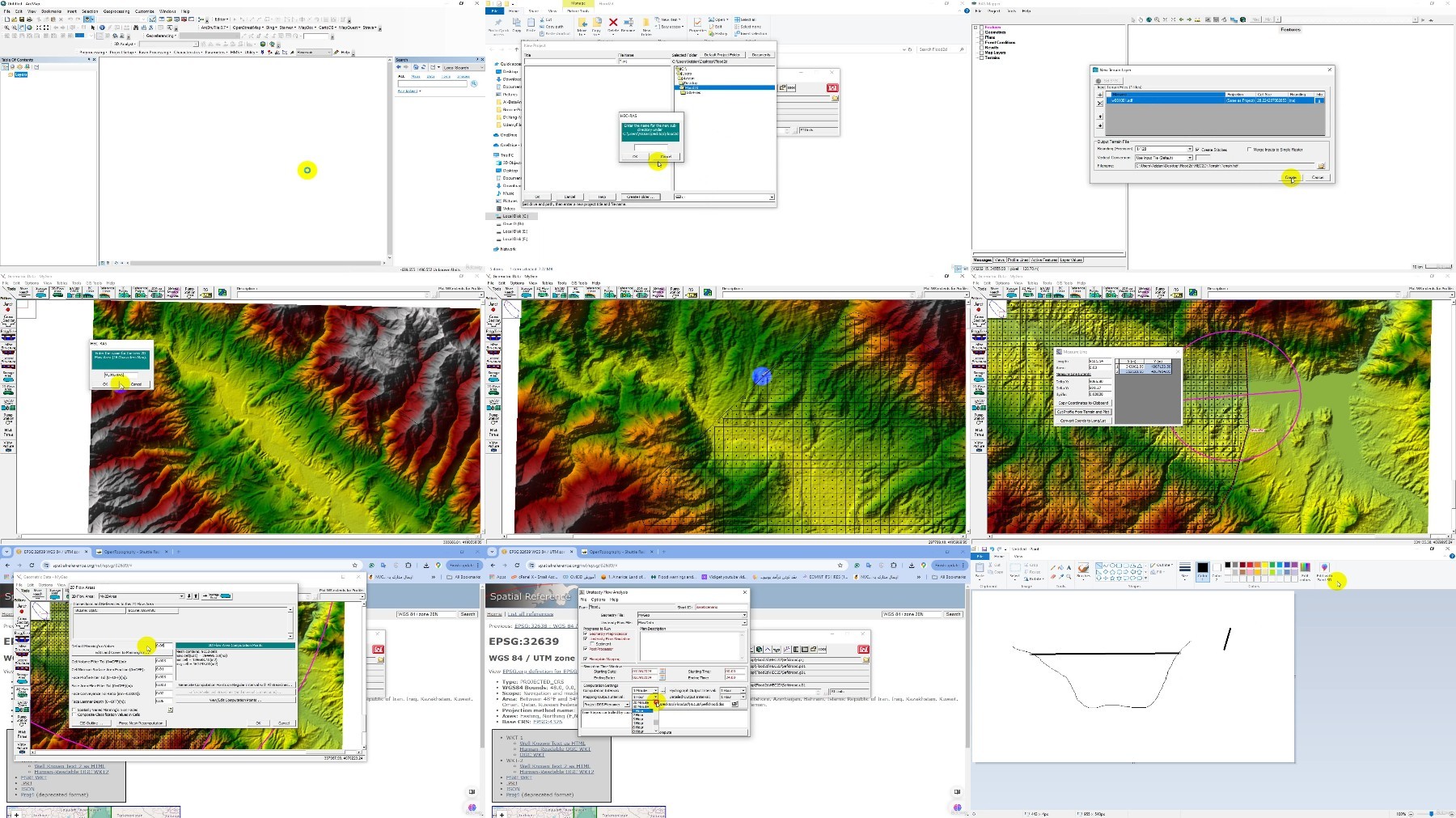
How to create 2D Meshes for computational Domains
How to create a Spatial map for Manning roughness coefficient using SENTINEL-2 images
How to connect 1D and 2D models especially in Urban regions
How to simulate 2D Dam Break Simulation using HEC-RAS Model
How to Modify Numerical setting to improve the accuracy and stability of HEC-RAS Model
How to 2D simulate the Mud- Debris Flows in HEC-RAS
How to 2D simulation in a Man-Made channel and Create 2D Terrain using 1D Cross-sections
How to use Precipitation Option in HEC-RAS for Spatially simulation of Flood
How to 2D Simulate Sediment transport modelling using HEC-RAS
How to Define structures, Levees and Bridge Piers in a 2D Model
Requirements
Basic Knowledge about Hydraulic, River engineering
Basic Knowledge about GIS and Digital Elevation Models
Basic Knowledge about Numerical Modelling concepts
Description
Unlock the full potential of HEC-RAS 2D in flood modelling and simulation! This comprehensive course is designed for hydrology enthusiasts, engineers, and flood modelers looking to revolutionize their skills in 2D flood simulation using the powerful HEC-RAS software.In this course, you will:Learn to create 2D meshes for complex computational domains, ensuring accurate and detailed flood simulations.Develop spatial maps for Manning's roughness coefficient using SENTINEL-2 images, enhancing model precision.Master the integration of 1D and 2D models, particularly in urban environments, for improved flood analysis.Dive deep into 2D dam break simulations and uncover key techniques to model flood risks effectively.Enhance the accuracy and stability of your HEC-RAS models by modifying numerical settings.Explore 2D mud-debris flow simulations for dynamic and challenging terrains.Learn how to model man-made channels and generate 2D terrain using 1D cross-sections.Utilize the Precipitation Option in HEC-RAS for spatially distributed flood simulations.Understand the intricacies of 2D sediment transport modelling and how it influences long-term flood behaviour.Define critical structures such as levees and bridge piers in a 2D model for realistic flood scenario planning.By the end of this course, you will be proficient in using HEC-RAS 2D for a wide range of flood simulation scenarios, equipping you with advanced skills to handle real-world challenges. Join now and take your flood modelling expertise to the next level!
Overview
Section 1: 2D Flood Simulation for a River Reach
Lecture 1 2D Modeling
Section 2: Connecting 1D and 2D Model using HEC-RAS
Lecture 2 Connecting 1D and 2D Model using HEC-RAS
Section 3: Creating Manning Roughness Map using SENTINEL2 images
Lecture 3 Creating Manning Roughness Map using SENTINEL2 images
Section 4: 2D Dam Break Modelling
Lecture 4 2D Dam Break Modelling
Section 5: 2D Mud and Debris Flow Simulation
Lecture 5 Mud and Debris Flow
Section 6: 2D Flood Simulation using Precipitation
Lecture 6 2D Flood Simulation using Precipitation
Section 7: 2D Flow Simulation in Man-Made Channel
Lecture 7 2D Flow Simulation in Man-Made Channel
Hydrologist, River Engineers, Water Resources Engineers, Civil Engineers,Students, University Researchers and Teachers

FileAxa
Warning! You are not allowed to view this text.
RapidGator
Warning! You are not allowed to view this text.
FileStore
TurboBit
Warning! You are not allowed to view this text.

Join to our telegram Group
Information
Users of Guests are not allowed to comment this publication.
Users of Guests are not allowed to comment this publication.
Choose Site Language
Recommended news
Commented


![eM Client Pro 9.2.1735 Multilingual [Updated]](https://pikky.net/medium/wXgc.png)


![Movavi Video Editor 24.0.2.0 Multilingual [ Updated]](https://pikky.net/medium/qhrc.png)

