Most Commented
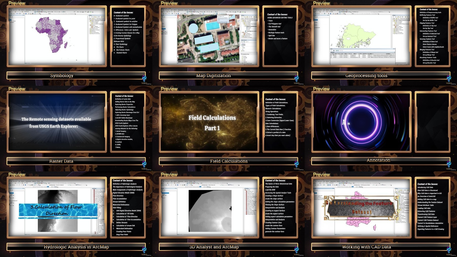
Udemy ArcGIS 10x Mastery Complete Course from Beginner to Expert


Description material

2.28 GB | 00:08:56 | mp4 | 1280X720 | 16:9
Genre:eLearning |Language:English
Files Included :
1 -Overview of the Course and Meet the Course Instructor (140.33 MB)
2 -An overview of the course Part 2 (166.77 MB)
3 -Introduction to geographic information systems (86.75 MB)
4 -Definition of Arcgis and Its Parts (60.54 MB)
1 -Introduction to Shapefile (44.75 MB)
1 -Shapefile (1.97 MB)
2 -Analyze Create and Digitize a new Point Shapefile (74.09 MB)
3 -Polyline and Polygon Shapefile (73.1 MB)
1 -11Database servers (322.34 KB)
3 -Link the SQL Server database with ArcMap (50.05 MB)
1 -Selection in ArcMap and its types (Interactive Selection) (62.4 MB)
1 -Selection Options (9.07 MB)
2 -Attributes, Location, and Graphics Selection Types (89.53 MB)
1 -Introduction to Symbology (24.9 MB)
2 -13Symbology(CityInfrastructure) (17.46 MB)
2 -Single Symbol Symbology ( Point, Line, and Polygon Feature) (84.5 MB)
3 -13Symbology(AltamonteCity) (382.17 KB)
3 -Categorical Symbology (62.7 MB)
4 -13Symbology(World CO2 Emissions) (5.59 MB)
4 -Quantitative Symbology (Graduated Colors) (28.43 MB)
5 -Quantitative Symbology (Graduated symbols) (50.24 MB)
6 -13Symbology(TURKIYA ) (3.43 MB)
6 -Graduated Symbols (Normalization) (65 MB)
7 -13Symbology(Africa) (8.02 MB)
7 -Custom Classes and Dot Density (39.56 MB)
8 -13Symbology(TURKIYA ) (3.43 MB)
8 -Proportional and Chart Symbols (67.41 MB)
1 -14map digitization work (2.93 MB)
1 -Definition Digitization and Polygon Digitizing (76.52 MB)
2 -Practice Digitizing a Polygon (90.22 MB)
3 -Digitizing Line and Point Features (102.12 MB)
4 -Using Advanced Editing Tools (87.36 MB)
1 -Georeferencing Part 1 (91.8 MB)
1 -Georeferencing (1.42 MB)
2 -Georeferencing Part 2 (74.85 MB)
1 -16Geoprocessing tools(Buffer) (975.41 KB)
1 -Definition of Geoprocessing and Buffering Tool (41.9 MB)
2 -16Geoprocessing tools(Clip) (4.42 MB)
2 -Clipping Features Tool (36.82 MB)
3 -16Geoprocessing tools (intersect) (1.01 MB)
3 -Intersecting Features Tool (32.91 MB)
4 -16Geoprocessing tools (union) (1.55 MB)
4 -Unioning Features Tool (62.61 MB)
5 -16Geoprocessing tools(Merg and Dissolve ) (7.64 MB)
5 -Merging Features Tool (14.38 MB)
6 -16Geoprocessing tools(Merg and Dissolve ) (7.64 MB)
6 -Dissolving Features Tools (32.25 MB)
1 -17ArcGIS Geodatabases (5.12 MB)
1 -Introduction of a Geodatabase (57.2 MB)
2 -Create Different Types of Feature Classes (52.45 MB)
3 -Geodatabase File Extension (67.67 MB)
4 -The Differences Between a Shapefile and a Geodatabase (57.88 MB)]
Screenshot

Rapidgator links are free direct download only for my subscriber, other hosts are free download for free users
Fikper
https://fikper.com/lpohEL0FY9/Udemy_ArcGIS_10x_Mastery_Complete_Course_from_Beginner_to_Expert_.part1.rar.html
https://fikper.com/MaPxAUmUVu/Udemy_ArcGIS_10x_Mastery_Complete_Course_from_Beginner_to_Expert_.part2.rar.html
FileAxa
https://fileaxa.com/jczfchnb527c/Udemy_ArcGIS_10x_Mastery_Complete_Course_from_Beginner_to_Expert_.part1.rar
https://fileaxa.com/51u4m5depdpn/Udemy_ArcGIS_10x_Mastery_Complete_Course_from_Beginner_to_Expert_.part2.rar
RapidGator
https://rapidgator.net/file/54633b5a4323386e4e820991e2bb8e1a/Udemy_ArcGIS_10x_Mastery_Complete_Course_from_Beginner_to_Expert_.part1.rar
https://rapidgator.net/file/99f4d978b4801c75ca6cd9d3f13c9c62/Udemy_ArcGIS_10x_Mastery_Complete_Course_from_Beginner_to_Expert_.part2.rar
TurboBit
https://turbobit.net/2alqzwldklms/Udemy_ArcGIS_10x_Mastery_Complete_Course_from_Beginner_to_Expert_.part1.rar.html
https://turbobit.net/edjnuomk9dfs/Udemy_ArcGIS_10x_Mastery_Complete_Course_from_Beginner_to_Expert_.part2.rar.html
Join to our telegram Group
Information
Users of Guests are not allowed to comment this publication.
Users of Guests are not allowed to comment this publication.
Choose Site Language
Recommended news
Commented


![eM Client Pro 9.2.1735 Multilingual [Updated]](https://pikky.net/medium/wXgc.png)


![Movavi Video Editor 24.0.2.0 Multilingual [ Updated]](https://pikky.net/medium/qhrc.png)

