Most Commented
Photogrammetry With Drones: In Mapping Technology (2018)


Description material

Photogrammetry With Drones: In Mapping Technology (2018)
WEBRip | English | MP4 | 1280 x 720 | AVC ~1215 kbps | 30 fps
AAC | 128 Kbps | 48.0 KHz | 2 channels | 1h 57min | 894.3 MB
Genre: Video Tutorial / Photographing
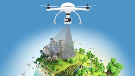
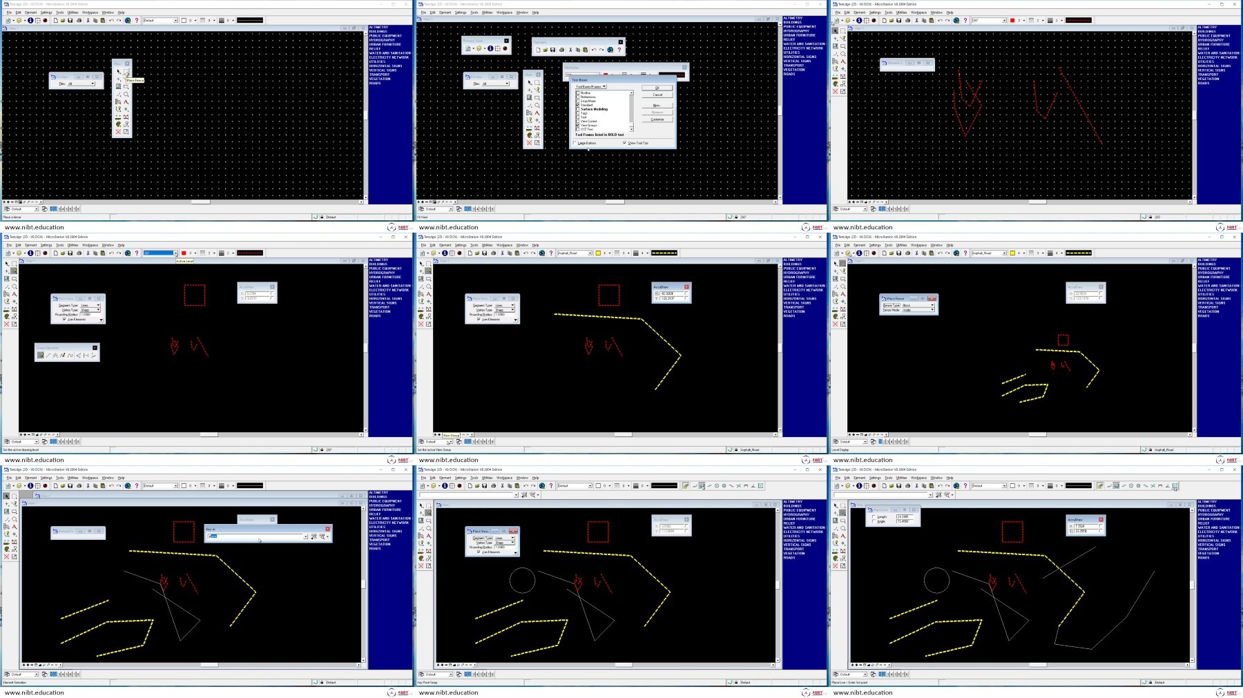
Photogrammetry uses measurements from photographs by analyzing points on an object and creates a 3D model using this information. As an integrated package, this online course provides valuable learning material on software like MicroStation, LPS (Leica Photogrammetry Suit) and PRO600, TerraModel.
Users can leverage very high detail of output through precise input information from aerial photographs. Course Participants will also identify concepts on Stereo Compilation (3D), which serves as a core process for photogrammetry.
After successful completion of this course, students will be able to-
I. Use their skills for MicroStation as Mapping software for Photogrammetry
II. Use their skills for PRO600-PROCart as a Photogrammetry software.
III. Compile planimetric features & DTM using 3D environment in LPS
IV. Construct Contours, Shaded Surfaces & TIN using TerraModel in Photogrammetry
V. Demonstrate work flow followed in Photogrammetry projects
also You can watch my other interesting: Photographing-posts
Screenshots
Exclusive eLearning Videos ← add to bookmarks


Join to our telegram Group
Information
Users of Guests are not allowed to comment this publication.
Users of Guests are not allowed to comment this publication.
Choose Site Language
Recommended news
Commented


![eM Client Pro 9.2.1735 Multilingual [Updated]](https://pikky.net/medium/wXgc.png)


![[PORTABLE] Renee Video Editor Pro 2022.09.20.56 Multilingual](https://pikky.net/medium/MSgc.png)
![[PORTABLE] Free Video Editor 1.4.60.1024 Premium Multilingual](https://i.postimg.cc/K8p3Sh4t/Free-Video-Editor-Premium.png)

![Movavi Video Editor 24.0.2.0 Multilingual [ Updated]](https://pikky.net/medium/qhrc.png)

